Empowering your Projects, Identifying the Risks... Defining Success!
Contact Us!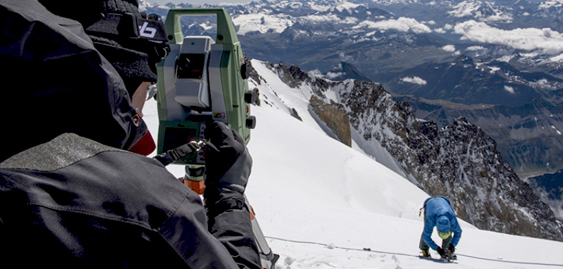
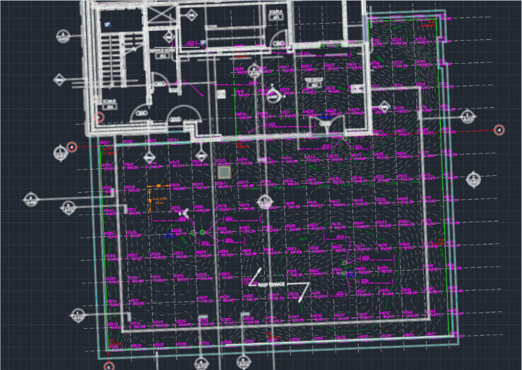
Empower your Civil Engineering and Surveying Projects.
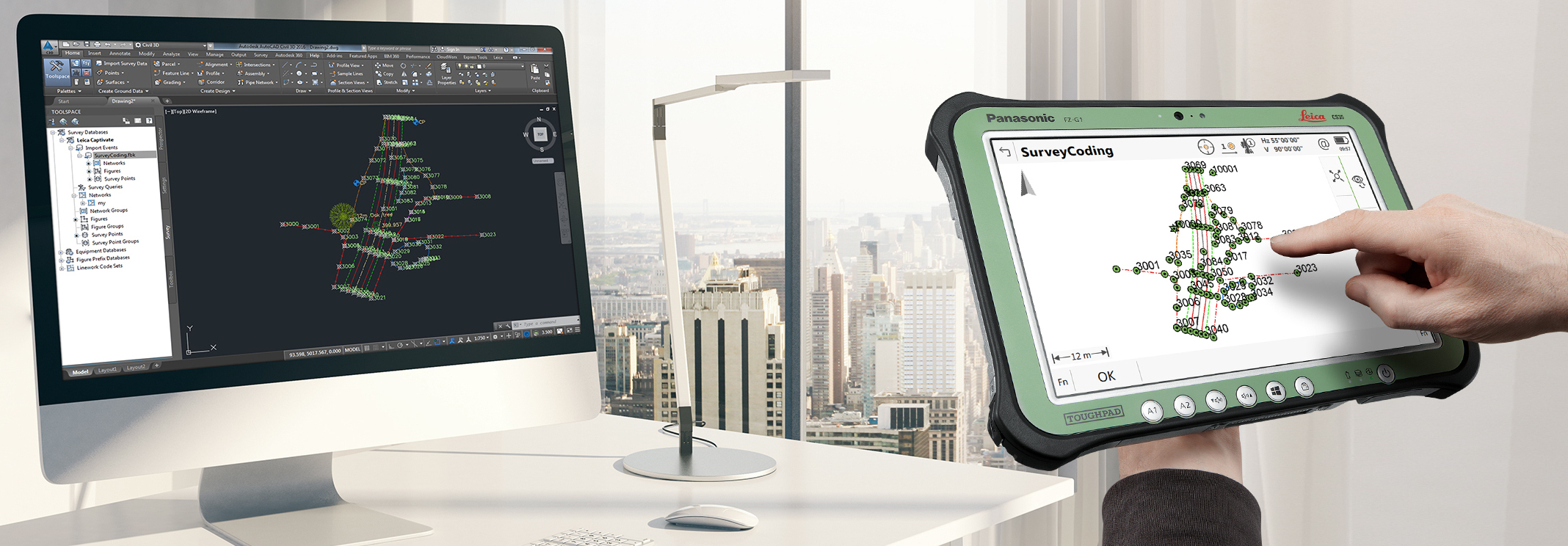
Augment your Company’s Potential for Efficiency by leveraging your projects on Field-to-Finish CAD Drafting Automation.
Strategic and tactical Solutions that exceed Expectations.
Our deep knowledge of Surveying, Civil Engineering, Site Layout and Quality Assurance will ensure a smooth and efficient work-flow in your Construction Project. We will investigate and pin-point the limiting factors that critically affect your project.
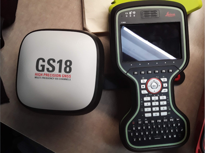
Implementation of High-Precision Global Positioning Satellite Systems.
Featuring Leica SmartNET RTK: The world's most precise real-time Kinematic ground Station Network enabled with GPS, GLONASS, BEIDOU and GALILEO Constellations. These Mobile, Satellite Linked platforms allow us to be the most knowledgable professionals on-site.
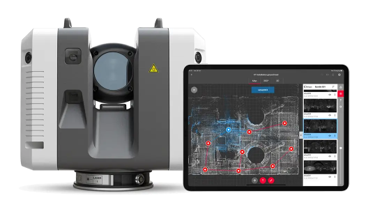
Terrestrial Based Lidar Scanning.
Rely on us to produce a Revit or Bricscad BIM compatible point cloud or Digtal Twin for use in your next building retro-fit project.
© Suárez Geospatial. All rights reserved.